Данная разработка предназначенна для учителей 8-ых классов. В данной разработке есть топик про Казахстан и упражнения связанные с текстом и новые слова, пословицы и т.д.
Вы уже знаете о суперспособностях современного учителя?
Тратить минимум сил на подготовку и проведение уроков.
Быстро и объективно проверять знания учащихся.
Сделать изучение нового материала максимально понятным.
Избавить себя от подбора заданий и их проверки после уроков.
Просмотр содержимого документа
«Kazakhstan is my Motherland, 8 grade»
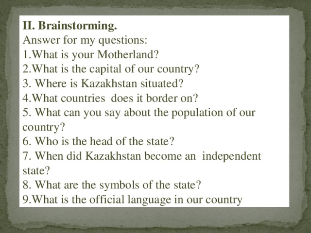
II. Brainstorming.
Answer for my questions:
1.What is your Motherland?
2.What is the capital of our country?
3. Where is Kazakhstan situated?
4.What countries does it border on?
5. What can you say about the population of our country?
6. Who is the head of the state?
7. When did Kazakhstan become an independent state?
8. What are the symbols of the state?
9.What is the official language in our country ?,
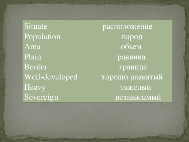
Situate расположение
Population народ
Area обьем
Plain равнина
Border граница
Well-developed хорошо развитый
Heavy тяжелый
Sovereign независимый
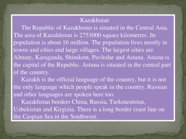
Kazakhstan
The Republic of Kazakhstan is situated in the Central Asia. The area of Kazakhstan is 2753000 square kilometres. Its population is about 16 million. The population lives mostly in towns and cities and large villages. The largest cities are Almaty, Karaganda, Shimkent, Pavlodar and Astana. Astana is the capital of the Republic. Astana is situated in the central part of the country.
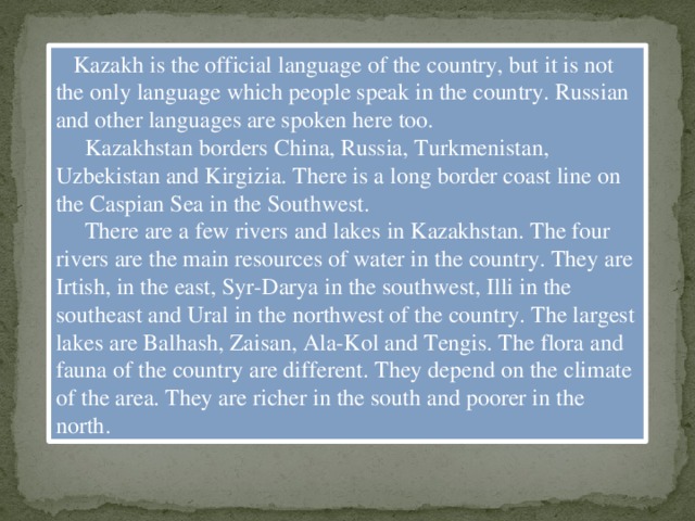
Kazakh is the official language of the country, but it is not the only language which people speak in the country. Russian and other languages are spoken here too.
Kazakhstan borders China, Russia, Turkmenistan, Uzbekistan and Kirgizia. There is a long border coast line on the Caspian Sea in the Southwest.
There are a few rivers and lakes in Kazakhstan. The four rivers are the main resources of water in the country. They are Irtish, in the east, Syr-Darya in the southwest, Illi in the southeast and Ural in the northwest of the country. The largest lakes are Balhash, Zaisan, Ala-Kol and Tengis. The flora and fauna of the country are different. They depend on the climate of the area. They are richer in the south and poorer in the north.
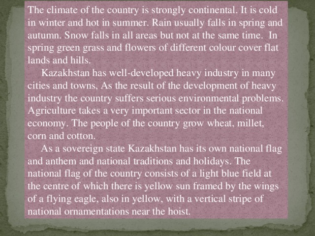
The climate of the country is strongly continental. It is cold in winter and hot in summer. Rain usually falls in spring and autumn. Snow falls in all areas but not at the same time. In spring green grass and flowers of different colour cover flat lands and hills.
Kazakhstan has well-developed heavy industry in many cities and towns, As the result of the development of heavy industry the country suffers serious environmental problems. Agriculture takes a very important sector in the national economy. The people of the country grow wheat, millet, corn and cotton.
As a sovereign state Kazakhstan has its own national flag and anthem and national traditions and holidays. The national flag of the country consists of a light blue field at the centre of which there is yellow sun framed by the wings of a flying eagle, also in yellow, with a vertical stripe of national ornamentations near the hoist.
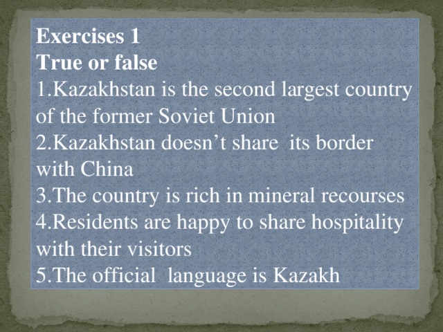
Exercises 1
True or false
1.Kazakhstan is the second largest country of the former Soviet Union
2.Kazakhstan doesn’t share its border with China
3.The country is rich in mineral recourses
4.Residents are happy to share hospitality with their visitors
5.The official language is Kazakh
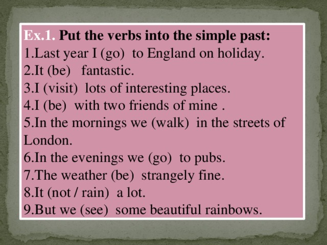
Ex.1.Put the verbs into the simple past:
1.Last year I (go) to England on holiday.
2.It (be) fantastic.
3.I (visit) lots of interesting places.
4.I (be) with two friends of mine .
5.In the mornings we (walk) in the streets of London.