Данная презентация может быть использована на уроках английского языка,на куружках при подготовке к олимпиадам различного уровня.
Создайте Ваш сайт учителя Видеоуроки Олимпиады Вебинары для учителей
Презентация 'Great Britain.Geographical Survey'
Вы уже знаете о суперспособностях современного учителя?

Тратить минимум сил на подготовку и проведение уроков.

Быстро и объективно проверять знания учащихся.

Сделать изучение нового материала максимально понятным.

Избавить себя от подбора заданий и их проверки после уроков.

Наладить дисциплину на своих уроках.

Получить возможность работать творчески.
Просмотр содержимого документа
«Презентация 'Great Britain.Geographical Survey'»
Great Britain. Geographical Survey.
LECTURE 2
Location.
The UK is situated off the northwest coast of
Europe between the Atlantic Ocean
on the North and north-west and
the North Sea on the East.
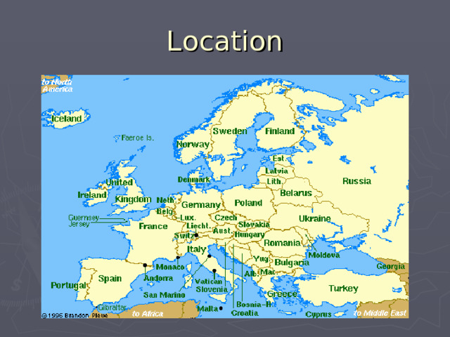
Location
Location.
It is separated from the continent by the English Channel (or La Manche) and the Strait of Dover (or Pa-de -Calais), which is 18 miles wide (~ 33,5 km).
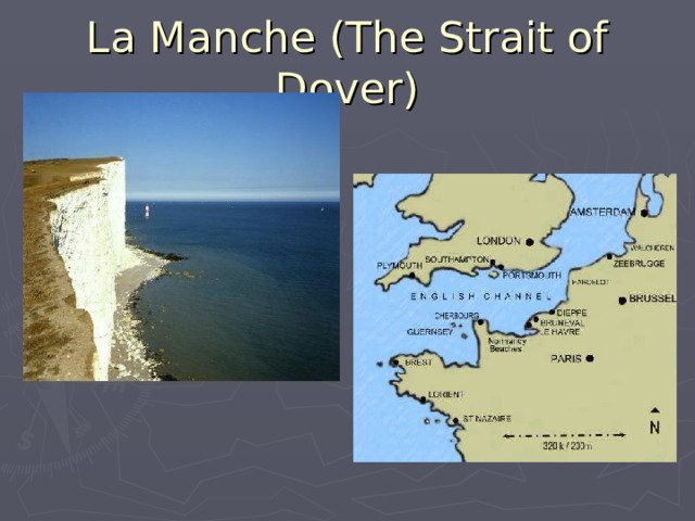
La Manche (The Strait of Dover)
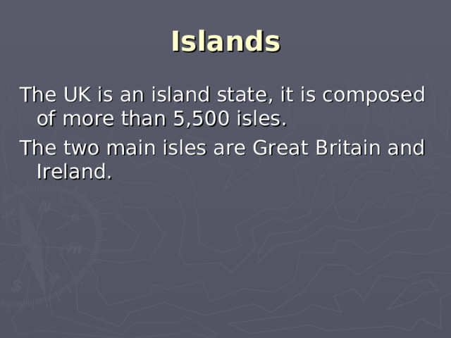
Islands
The UK is an island state, it is composed of more than 5,500 isles.
The two main isles are Great Britain and Ireland.
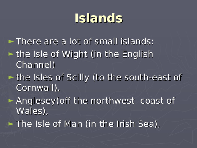
Islands
- There are a lot of small islands:
- the Isle of Wight (in the English Channel)
- the Isles of Scilly (to the south-east of Cornwall),
- Anglesey(off the northwest coast of Wales),
- The Isle of Man (in the Irish Sea),
Islands
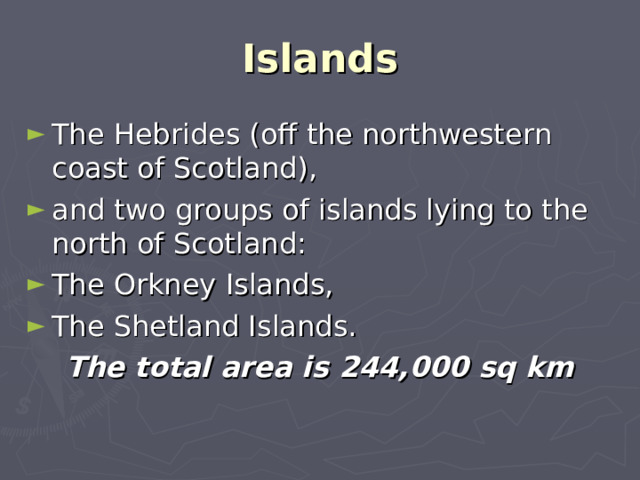
- The Hebrides (off the northwestern coast of Scotland),
- and two groups of islands lying to the north of Scotland:
- The Orkney Islands,
- The Shetland Islands.
The total area is 244,000 sq km
Population and the languages spoken
The population of the UK is about 60 million people.
England – over 49 million, Scotland – over 5 million, Wales – over 3 million people and Northern Ireland about 1,5 million.
Population and the languages spoken
They are all British, they all speak English. However Scottish Gaelic, Irish Gaelic and Welsh are now officially encouraged and taught in schools.
There are two official languages in Wales: Welsh and English.
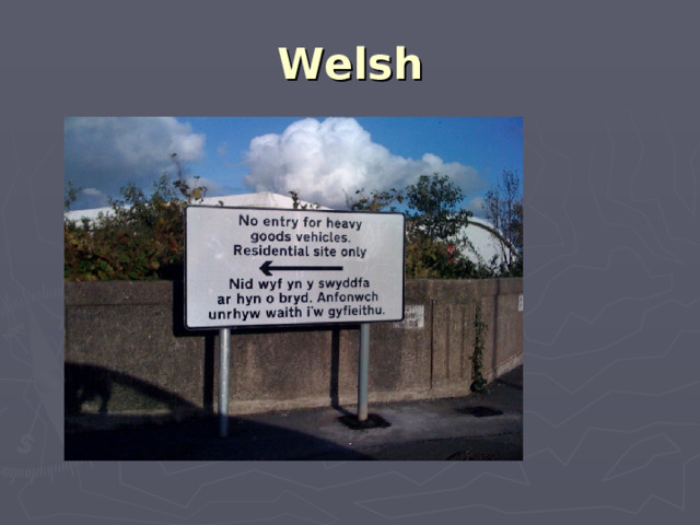
Welsh
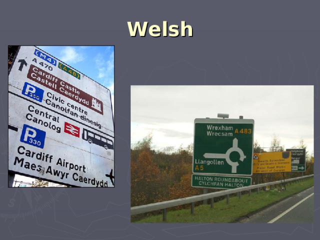
Welsh
Relief, regions.
Geographically Great Britain is subdivided into two main regions: Lowland Britain (England) and Highland Britain (Wales and Scotland).
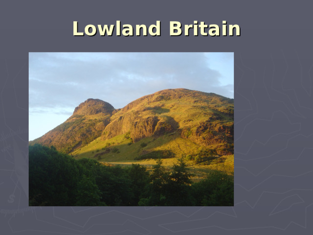
Lowland Britain
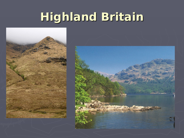
Highland Britain
Relief, regions.
England is separated from Scotland by the Cheviot Hills.
The Pennine Chain extends from the Cheviot Hills into the Midlands.
The highest mountains are Ben Nevis (1343m) in Scotland and Snowdon (1035 m) in Wales.
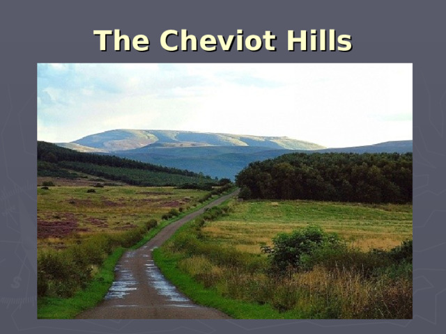
The Cheviot Hills
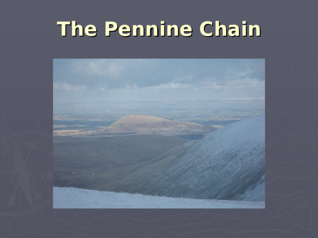
The Pennine Chain
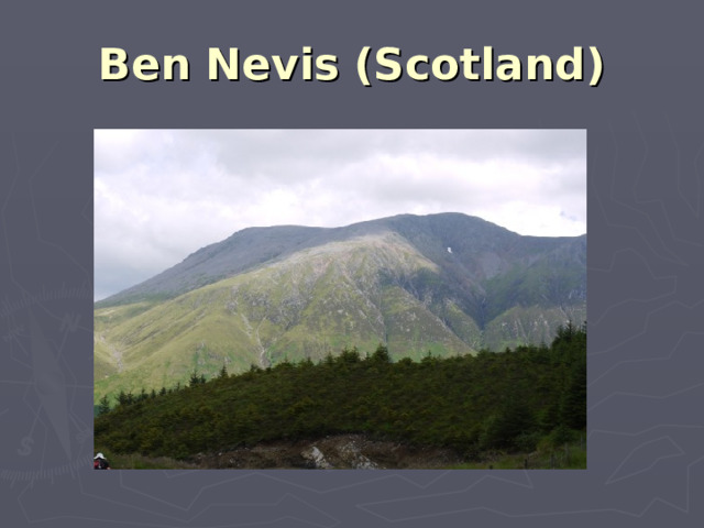
Ben Nevis (Scotland)
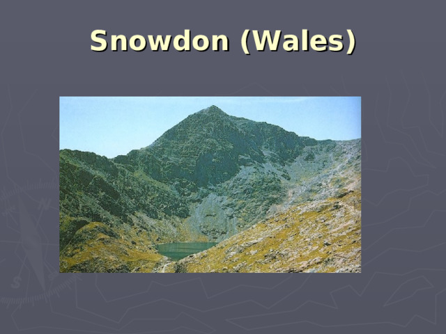
Snowdon (Wales)
Rivers and lakes.
The most important rivers are
the Severn (3084 km),
the Thames,
the Tyne,
the Trent,
the Clyde.
The fastest river is the Spey (Scotland).
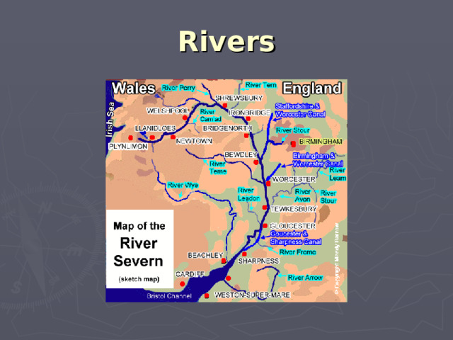
Rivers
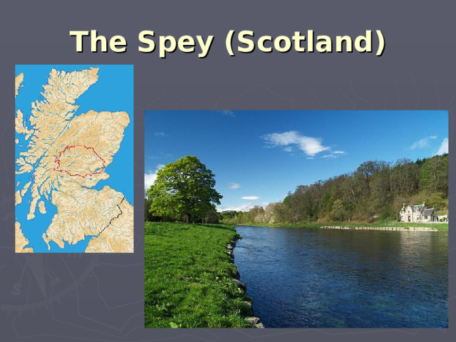
The Spey (Scotland)
Rivers and lakes.
There are many lakes in Great Britain.
The Lake District (England) is a popular holiday district.
The lakes in Scotland are called «lochs».
The largest is Loch Lomond, the most popular one is Loch Ness.
The monster is supposed to live there.
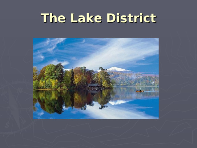
The Lake District
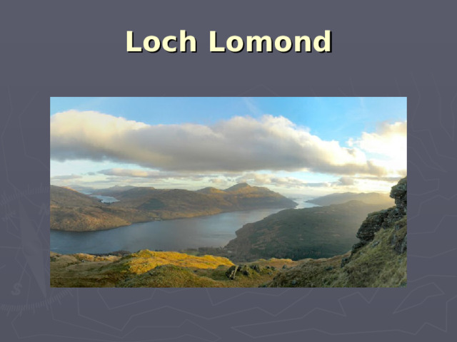
Loch Lomond
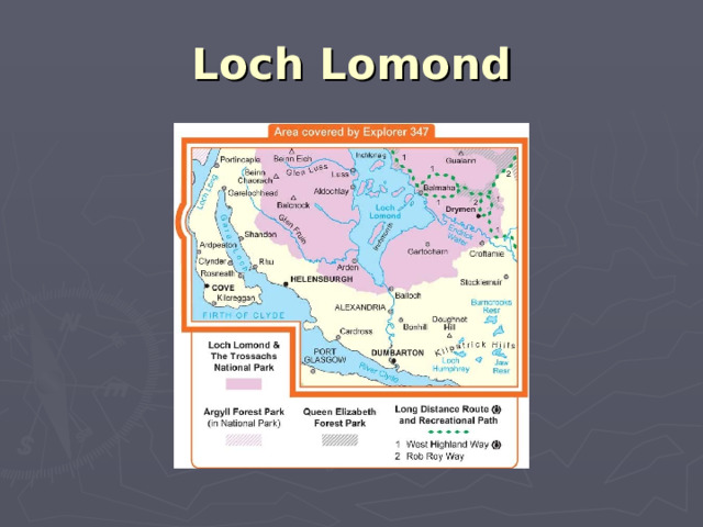
Loch Lomond
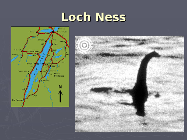
Loch Ness
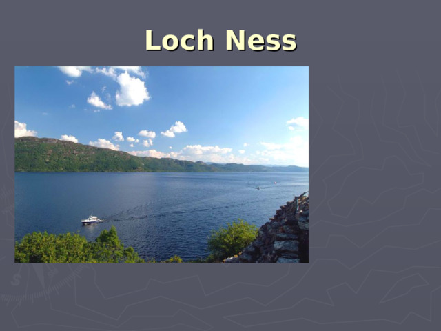
Loch Ness
Climate. Flora and Fauna.
The climate is generally mild and temperate because of the Gulf Stream.
It is good for plants and flowers.
Some of them have become the symbols in the UK.
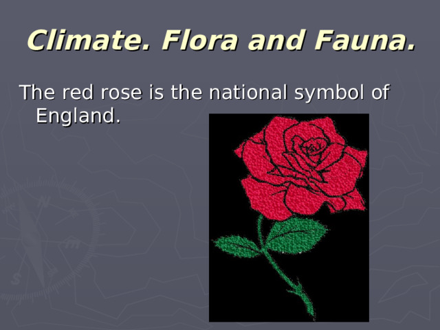
Climate. Flora and Fauna.
The red rose is the national symbol of England.
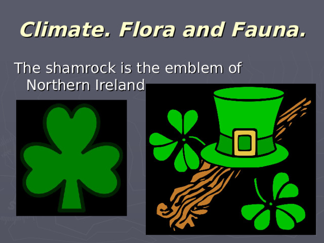
Climate. Flora and Fauna.
The shamrock is the emblem of Northern Ireland.
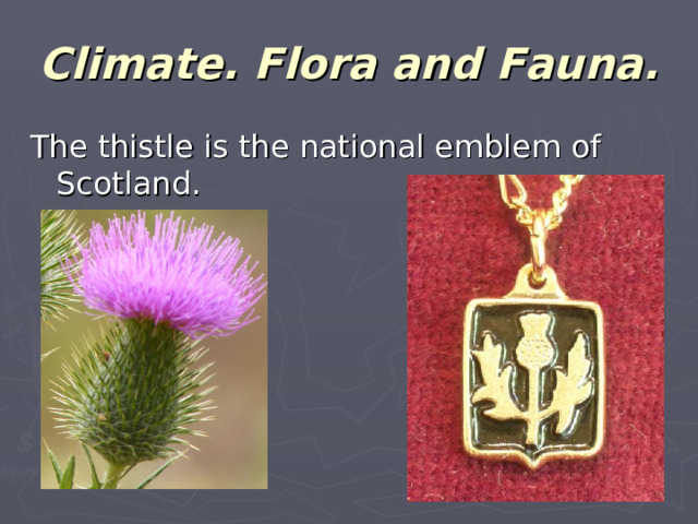
Climate. Flora and Fauna.
The thistle is the national emblem of Scotland.
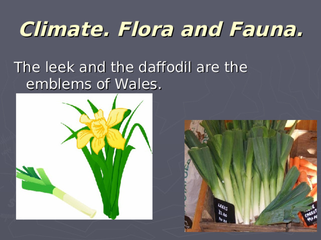
Climate. Flora and Fauna.
The leek and the daffodil are the emblems of Wales.
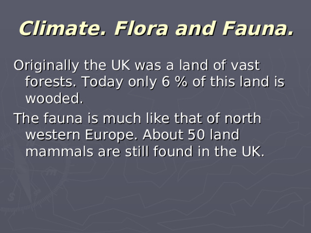
Climate. Flora and Fauna.
Originally the UK was a land of vast forests. Today only 6 % of this land is wooded.
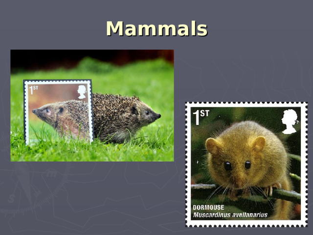
The fauna is much like that of north western Europe. About 50 land mammals are still found in the UK.
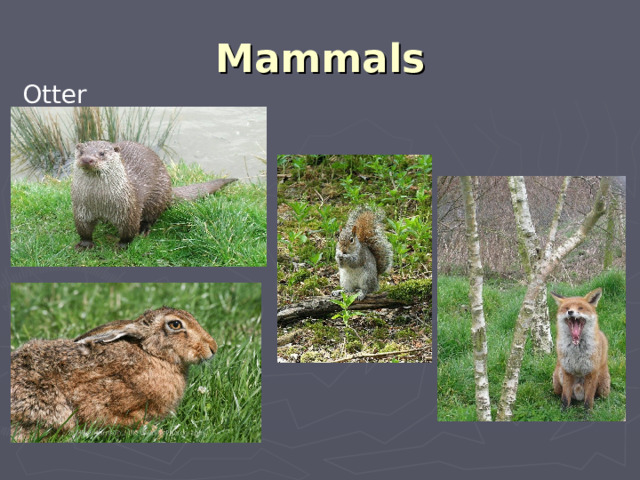
Mammals
Otter
Mammals
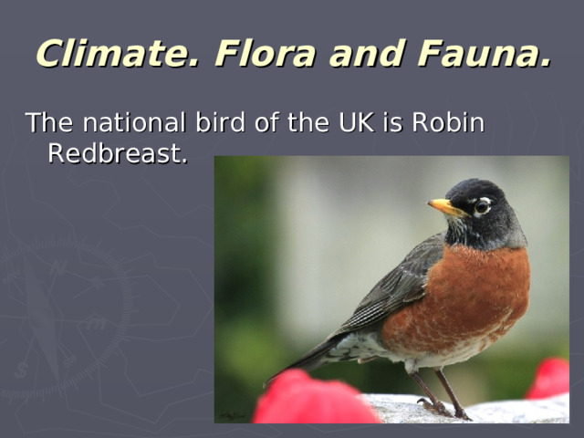
Climate. Flora and Fauna.
The national bird of the UK is Robin Redbreast.
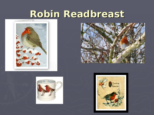
Robin Readbreast
Climate. Flora and Fauna.
The country is rich in mineral resources like oil and coal.
Economy.
The UK is a highly- developed industrial country, one of the largest producers and exporters of machinery, electronics, textile, aircraft and navigation equipment.
One of the chief industries is shipbuilding.
Cities and ports.
The most important cities are London, Birmingham, Glasgow, Liverpool, Manchester, Sheffield, Bristol, Leeds and Edinburgh.
The most important ports are London, Liverpool, Southampton, Belfast and Cardiff.
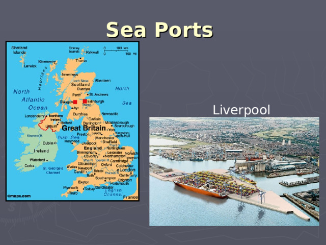
Sea Ports
Liverpool


Предмет: Английский язык
Категория: Презентации
Целевая
аудитория: 11 класс.
Урок соответствует ФГОС
Полезное для учителя


Распродажа видеоуроков!

2000 руб.
3080 руб.
1730 руб.
2660 руб.

2000 руб.
3080 руб.

2000 руб.
3080 руб.
ПОЛУЧИТЕ СВИДЕТЕЛЬСТВО МГНОВЕННО
* Свидетельство о публикации выдается БЕСПЛАТНО, СРАЗУ же после добавления Вами Вашей работы на сайт
Удобный поиск материалов для учителей
Проверка свидетельства