Презентация по английскому языку для старших классов.
Презентация по страноведению США
Создайте Ваш сайт учителя Видеоуроки Олимпиады Вебинары для учителей
Презентация по английскому языку для старших классов.
Презентация по страноведению США


THE UNITED STATES OF AMERICA
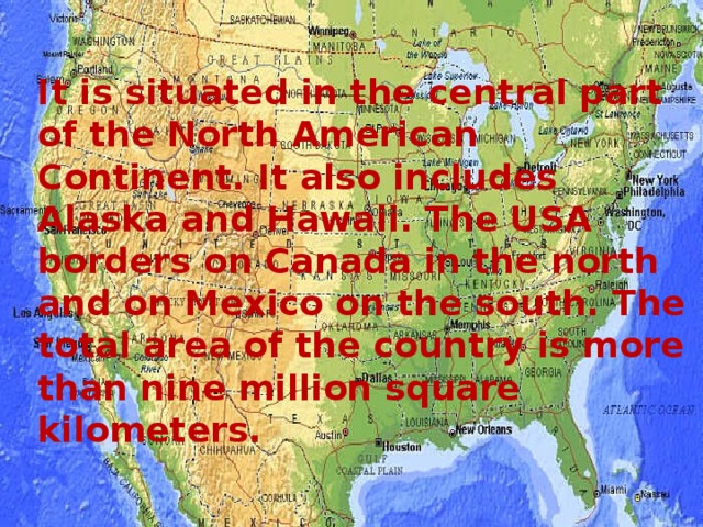
It is situated in the central part of the North American Continent. It also includes Alaska and Hawaii. The USA borders on Canada in the north and on Mexico on the south. The total area of the country is more than nine million square kilometers.
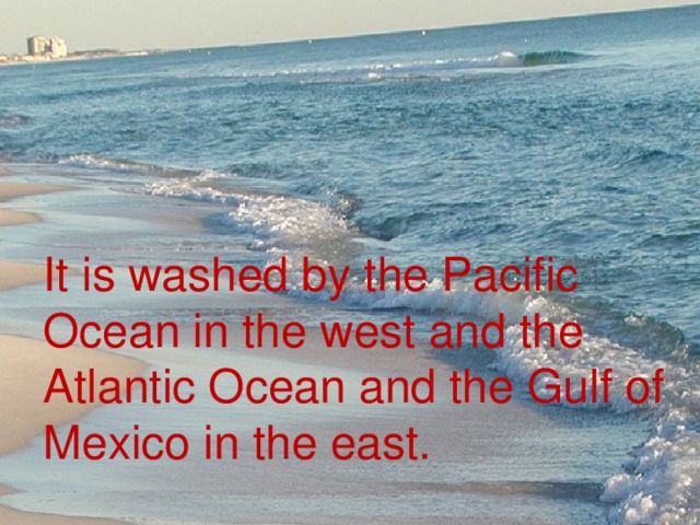
It is washed by the Pacific Ocean in the west and the Atlantic Ocean and the Gulf of Mexico in the east.
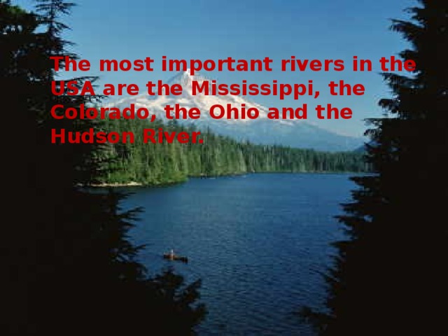
The most important rivers in the USA are the Mississippi, the Colorado, the Ohio and the Hudson River.
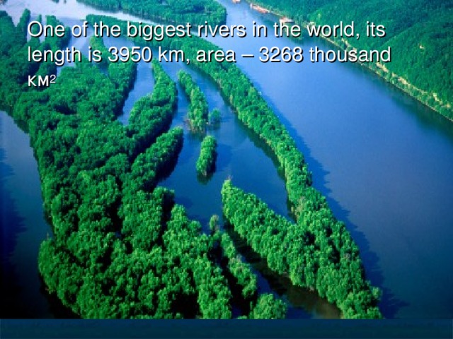
One of the biggest rivers in the world, its length is 3950 km, area – 3268 thousand км 2
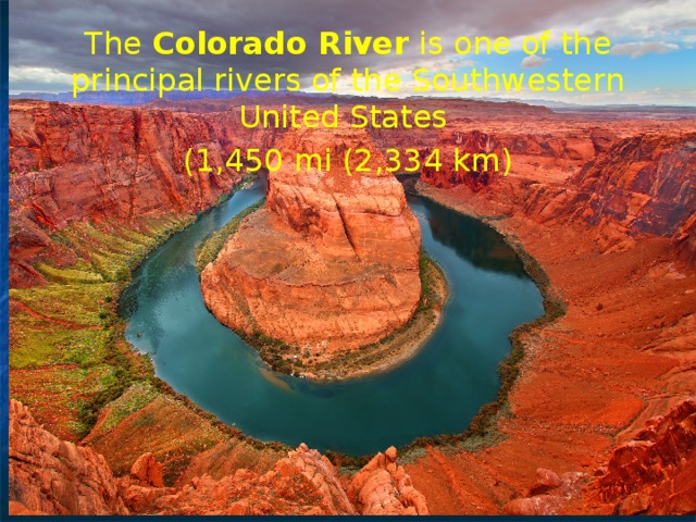
The Colorado River is one of the principal rivers of the Southwestern United States
(1,450 mi (2,334 km)
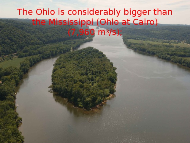
The Ohio is considerably bigger than the Mississippi (Ohio at Cairo) (7,960 m 3 /s);
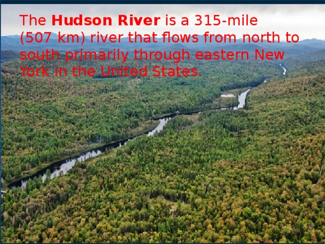
The Hudson River is a 315-mile (507 km) river that flows from north to south primarily through eastern New York in the United States.
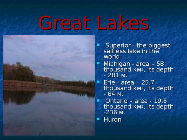
Great Lakes
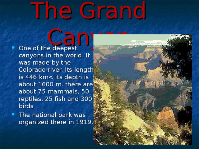
The Grand Canyon
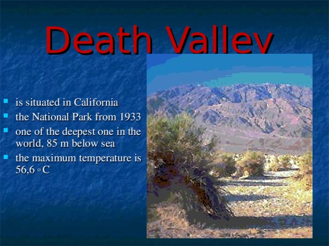
Death Valley
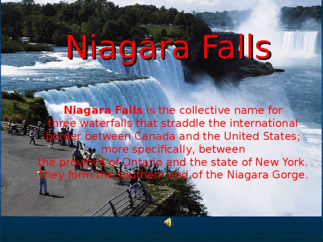
Niagara Falls Niagara Falls is the collective name for three waterfalls that straddle the international border between Canada and the United States; more specifically, between the province of Ontario and the state of New York. They form the southern end of the Niagara Gorge.
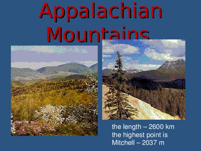
Appalachian Mountains
the length – 2600 km
the highest point is Mitchell – 2037 m

Rocky Mountains
The length is about 3200 km, the width – 700 km, high – 4399 m
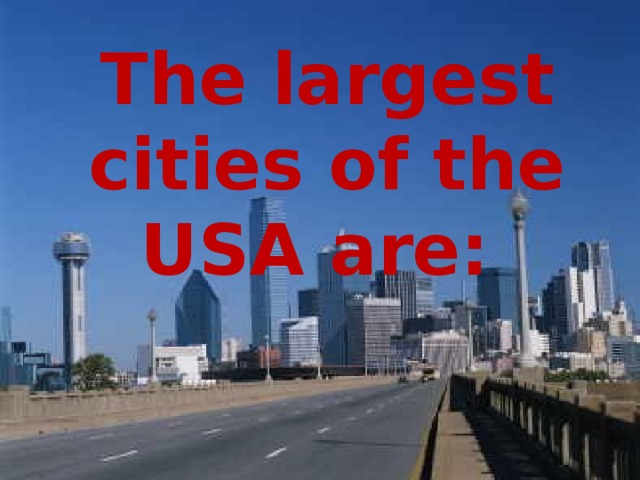
The largest cities of the USA are:
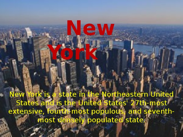
New York
New York is a state in the Northeastern United States and is the United States' 27th-most extensive, fourth-most populous, and seventh-most densely populated state.
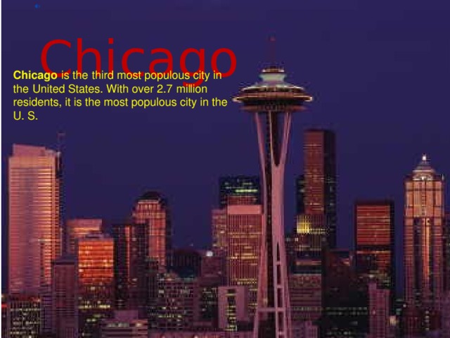
Chicago
Chicago is the third mos t populous city in the United States. With over 2.7 million residents, it is the most populous city in th e U. S .
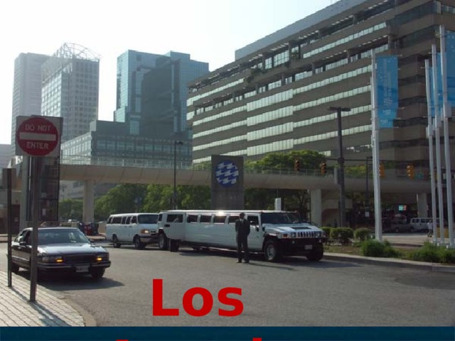
Los Angeles
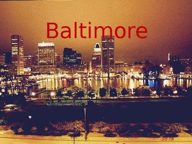
Baltimore
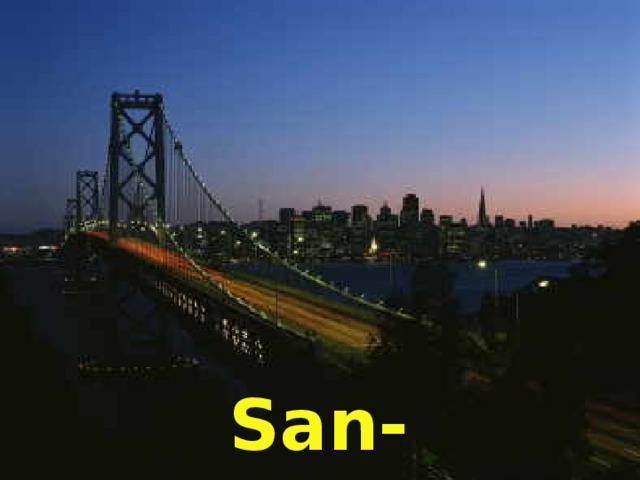
San-Francisco
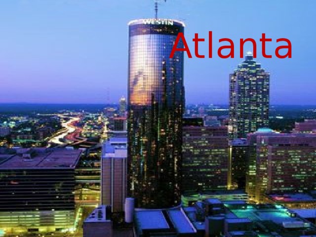
Atlanta

Philadelphia


* Свидетельство о публикации выдается БЕСПЛАТНО, СРАЗУ же после добавления Вами Вашей работы на сайт